The Atlantic Melancholy of the Ten Islands
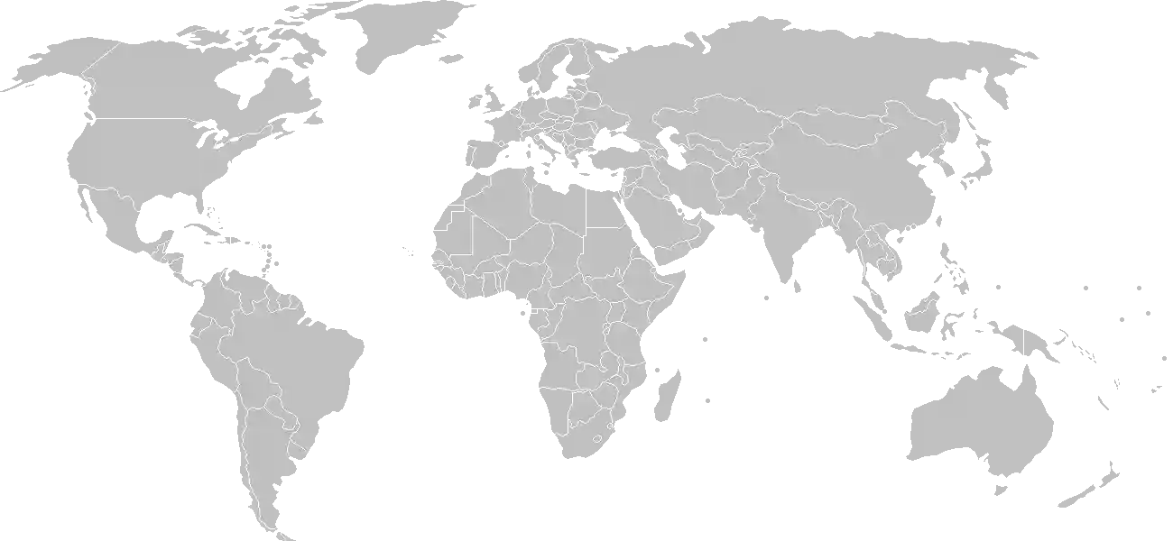
To gaze upon Cabo Verde is to witness a geologic miracle emerging from the deep azure of the central Atlantic Ocean. Situated roughly five hundred kilometers off the coast of Senegal, these ten volcanic islands do not merely exist as dots on a map, but as a bridge between three continents. The nation is a living masterpiece of contrast where the stark, arid beauty of moon-like craters meets the lush, hidden verdancy of high-altitude valleys. For the traveler, the scholar, and the dreamer, Cabo Verde represents more than just a destination. It is the birthplace of a culture forged in isolation, tempered by the sea, and animated by an enduring spirit of "sodade"—a profound longing for the far-away that has defined its identity for centuries.
Unlike the neighboring mainland, these islands were uninhabited when Portuguese mariners first encountered them in the fifteenth century. This lack of a prior indigenous population meant that every tradition, every melody, and every structural stone was part of a grand synthesis, a collision of cultures that redefined what it meant to be Atlantic. To truly grasp the complexity of this nation, one must first look back at the waves of migration, trade, and resilience that shaped its path. You can explore the history of Cabo Verde, where the detailed records of these formative years reveal how a crossroads for explorers and maritime travelers evolved into a proud, sovereign archipelago. By engaging with this narrative, students and researchers alike can appreciate how the islands transitioned from a colonial supply post to a bastion of democracy and maritime heritage.
Geographic Sculptures in the Mid-Ocean
The geography of Cabo Verde is a tale told in two distinct chapters, divided by the wind. The "Barlavento" or windward islands in the north, and the "Sotavento" or leeward islands in the south, provide a dual personality to the archipelago. On islands like Santo Antão, vertical mountain peaks slice through the clouds, hiding emerald valleys and ancient terrace farming systems. Conversely, the island of Sal offers a landscape of salt flats and sun-scorched plains that appear endless against the horizon. This topographical diversity serves as a living laboratory for geographers and students.
For those interested in mastering the timeline of this evolution, it is often best to test your knowledge against the weight of time. We invite you to try our History Puzzle, where you can arrange the transformative moments of the archipelago's existence into their proper order, earning achievement badges as you decode the chronology of colonization, trade, and independence. The puzzle turns dates and figures into a fluid understanding of national development, bridging the gap between historical data and geographical wisdom.
A Symphony of Sound and Visuals
Cabo Verde is perhaps most famous internationally for its music—a genre of bluesy, soul-stirring melodies that capture the rhythmic push and pull of the ocean tides. This music, often referred to as "Morna," is the heartbeat of the nation, expressing the trials of migration and the warmth of homecoming. The visual essence of the nation matches the richness of its music. Through our History Cinematic Showcase, we offer a multisensory experience that brings these pivotal chapters to life. Through carefully curated illustrations and concise summaries, users can visualize the arrival of the first ships, the cultural blending of Africa and Europe, and the bold pursuit of modern statehood.
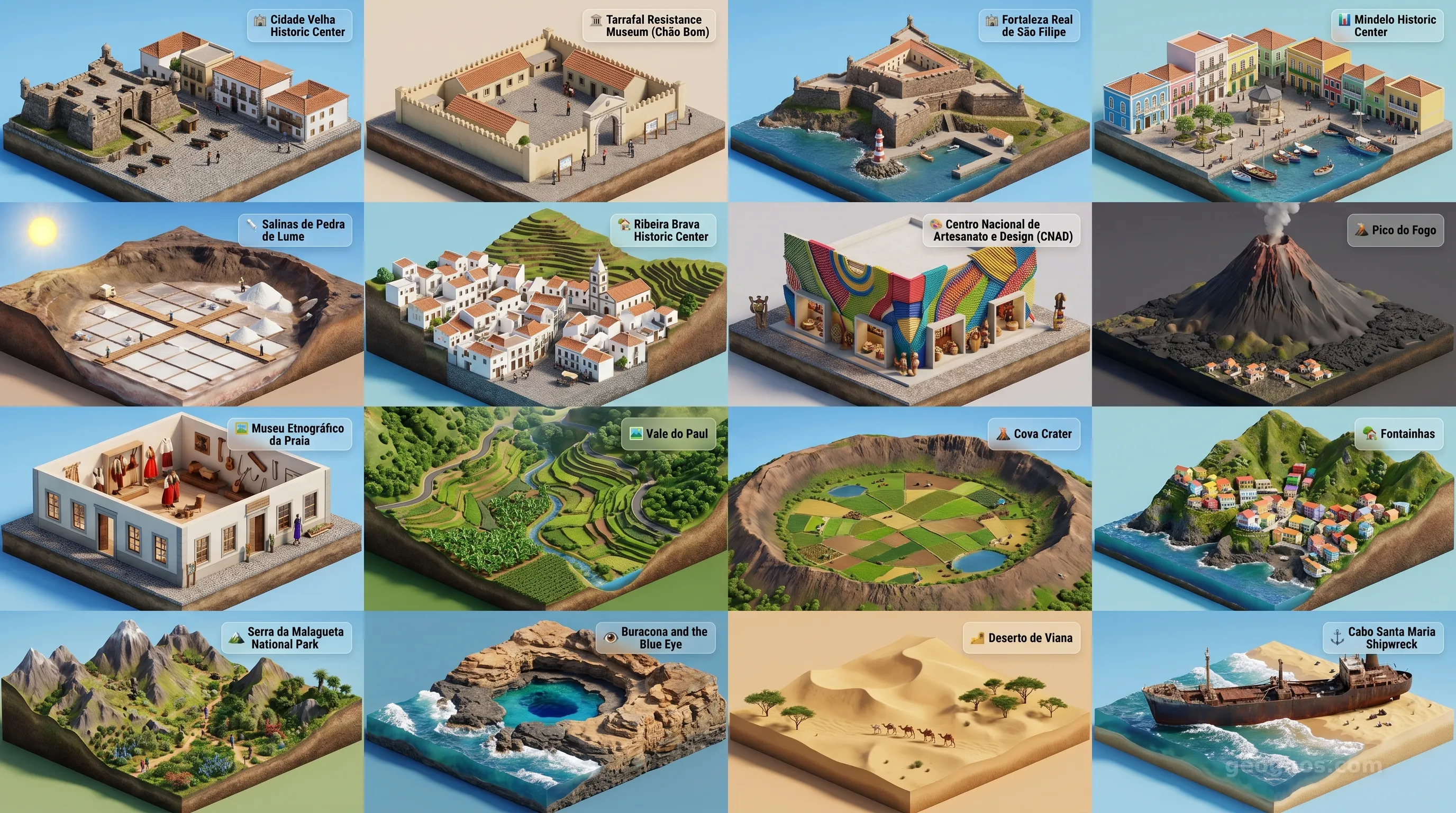
Furthermore, because the visual landscape of the islands is as breathtaking as their history, we have compiled an essential collection of the country's landmarks. You can explore the Points of Interest Cinematic Showcase, which presents a dynamic carousel of images depicting volcanic calderas, colonial architecture in Praia and Mindelo, and the crystalline coastal waters that make the nation a premier destination for maritime study and sustainable tourism. These visuals serve as both a field guide for the traveler and a high-fidelity resource for the classroom.
An Enduring Identity
What makes Cabo Verde so profoundly unique is its inherent adaptability. It is a nation that has mastered the art of "making something from nothing," transforming harsh basaltic terrain into a thriving hub of education, arts, and democratic stability. The people, known as Cabo-verdianos, carry the legacy of their ancestry with a cosmopolitan grace that is rarely seen in such small island nations. From the sprawling, sandy beaches of Boa Vista to the intellectual centers found in the city of Praia, there is a consistent theme of community and openness.
As we examine this archipelago on the global stage, it becomes evident that Cabo Verde’s true strength lies in its ability to remain connected to the world while protecting its unique insular soul. Whether you are conducting academic research into its distinct creole language, planning a transformative journey across its varied landscapes, or seeking to understand the socio-economic models that allow an archipelago to thrive in the mid-Atlantic, GeoGnos provides the foundation you need. Cabo Verde is not merely a place of geography; it is a testament to the endurance of the human spirit when placed in dialogue with the infinite, expansive sea.