The Archipelago of Fire and Tradition
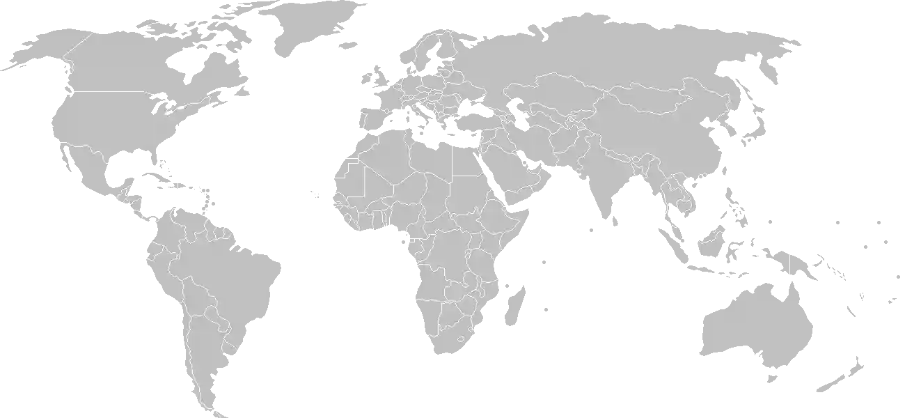
In the vast, azure expanse of the South Pacific, there lies a chain of eighty-three islands that defy the common notion of a static paradise. Vanuatu is not merely a collection of sun-drenched beaches. It is a tectonic masterpiece, a living laboratory where the earth is constantly being remade. To set foot upon these islands is to witness the dialogue between ancient ancestral traditions and the volatile, creative forces of the planet itself. Known historically as the New Hebrides, the nation rose from the seabed through the relentless upheaval of volcanic activity, creating a rugged, emerald landscape that dictates every aspect of the Ni-Vanuatu way of life.
The soul of Vanuatu is defined by "Kastom," an intricate system of traditional laws, values, and practices that have preserved the social fabric across diverse linguistic groups for millennia. Here, development is measured not just in economic output, but in the strength of tribal ties, the preservation of ancestral lands, and the rhythmic beat of slit-gong drums echoing through the jungle canopy. It is a place where modernity moves at the speed of an island breeze, leaving room for the deep, resonant wisdom of the past to flourish.
A Crucible of Cultural Memory
To understand the depth of this archipelago, one must first engage with the events that forged its identity. The narrative of these islands is a tapestry woven from Melanesian heritage, colonial shifts, and a resilient pursuit of sovereignty. Those seeking to explore the comprehensive history of Vanuatu will discover a profound story of encounter, transformation, and self-determination that spans from the early Lapita voyagers to the dawn of independence in 1980.
For students and enthusiasts who wish to test their understanding of this complex past, our interactive history puzzle offers an engaging challenge, tasking you with placing pivotal moments in their correct chronological sequence. Mastering this timeline provides a deeper context for why the islands retain such unique customary protocols today. Complementing this, you can experience a curated visual journey through our history cinematic showcase, which breathes life into the archival records and legends that defined the archipelago before and during the era of global contact.
Geography as Destiny
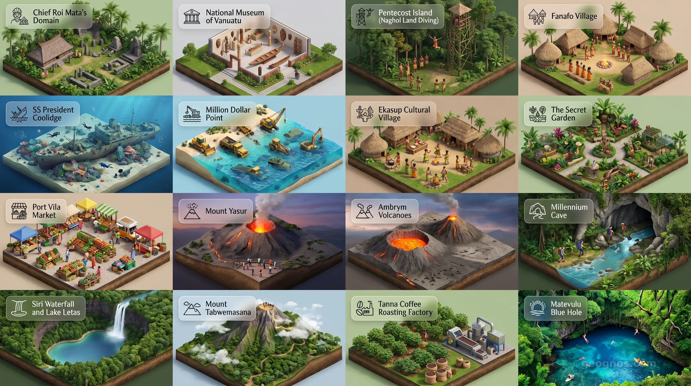
Vanuatu sits squarely on the Ring of Fire, a position that gifts the islands with rich volcanic soil and spectacular geothermal features. The nation is a dramatic collection of high peaks that pierce the mist of the tropics. Mount Yasur on Tanna Island, often described as one of the most accessible active volcanoes on the globe, offers a window into the raw power of earth science. The constant glow of its crater serves as a beacon, reminding all who reside here that the earth is, quite literally, a work in progress. This vertical landscape has dictated the migration patterns of its people, the agricultural reliance on yams and taro, and the protective, communal nature of island villages.
Whether it is the lush rainforests of Espiritu Santo or the rugged cliffs of Erromango, the visual beauty of these islands is unparalleled. We invite you to lose yourself in the breathtaking landscapes by visiting our POI cinematic showcase, which highlights the hidden cascades, sapphire blue holes, and sacred ceremonial sites that make Vanuatu a destination for the curious mind and the observant heart.
Harmony and the Melanesian Way
The Ni-Vanuatu people are the custodians of one of the world's most linguistically diverse nations. With over one hundred distinct languages spoken across the islands, Vanuatu remains a global epicenter for linguistic preservation. This diversity is not a barrier but a source of collective pride. Education here often bridges the gap between the formal Western classroom and the traditional "Nakamal," the village meeting house where community decisions are settled over shells of kava. This duality reflects a culture that respects formal structures while remaining firmly rooted in the philosophy of the Melanesian Way, which prioritizes social harmony and environmental stewardship.
As the sun sets over the Pacific, casting long shadows across the dark basalt shores, it becomes clear why this nation resonates so deeply with the traveler. Vanuatu offers more than just an escape. It offers an invitation to rethink one’s relationship with the land and the ancestors who came before. It is a nation of enduring resilience, a geography of wonder, and a cultural monument to the beauty of living in rhythm with the wild, beating heart of the Pacific Ocean.