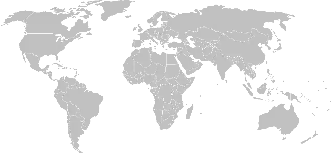
The Land of a Thousand Voices
To step into Papua New Guinea is to step into the beating heart of human diversity. Stretching across the eastern half of the great island of New Guinea and a scatter of emerald-hued archipelagos in the southwestern Pacific, this is a nation defined not by borders, but by the verticality of its landscape and the infinite layers of its heritage. Here, the world feels raw and ancient. Giant mountain ranges pierce the clouds, sheltering deep, limestone-walled valleys where, for millennia, communities have lived in near total isolation, cultivating traditions that remain as vibrant as the plumes of the Raggiana bird-of-paradise. Papua New Guinea is not merely a place you visit; it is a profound testament to the tenacity of human culture and the majesty of an Earth that is still very much in the process of shaping itself.
For the traveler, the scholar, and the curious student, this nation offers a glimpse into a primordial era. It is home to the most diverse linguistic landscape on the planet, where over 800 languages are spoken among a population that treasures its ancestral roots. Understanding the path this nation has taken is a journey in itself, and you can begin your deep dive by choosing to explore the comprehensive history of Papua New Guinea. This narrative reveals how rugged isolation encouraged regional autonomy, yet also how the country has forged a singular, unified identity within the modern global community.
The Geography of Separation and Connection
The spirit of Papua New Guinea is inextricably tied to its topography. The central cordillera, a massive spine of jagged peaks, functions as a natural barrier that has compartmentalized societies for ages. This extreme geography created the ideal conditions for an extraordinary biological and cultural evolutionary experiment. While the lowlands are blanketed in impenetrable, high-biodiversity rainforests that serve as lungs for the region, the highlands represent a world of verticality, mist, and deep social complexity.
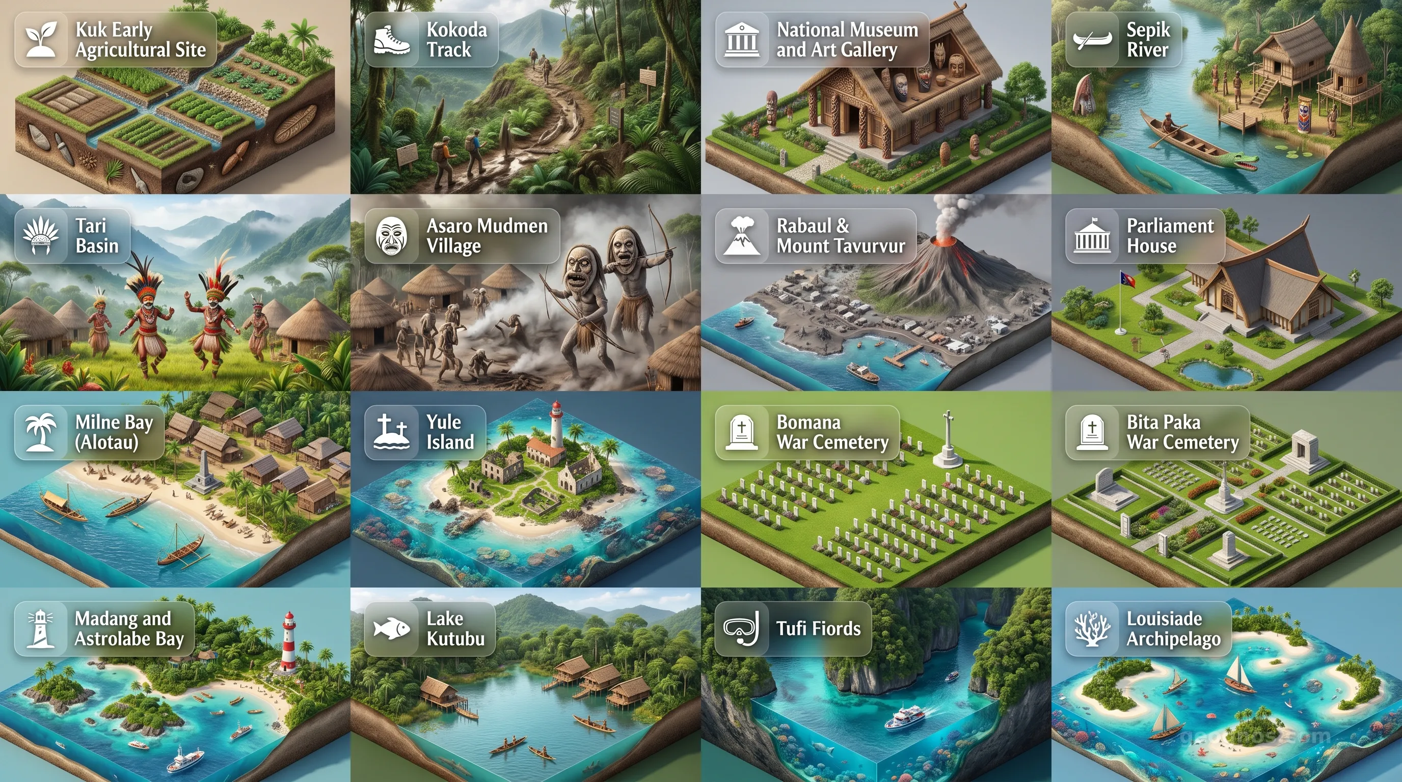
The coastline, defined by the turquoise waters of the Coral Sea and the Bismarck Sea, serves as the gateway to the world, yet it also keeps secrets. It is along these shores and throughout the hidden inland valleys that historical milestones have shaped the nation into what we see today. If you are interested in testing your knowledge of these significant turning points, try your hand at the interactive history puzzle of Papua New Guinea to see if you can align the dates and events of this complex, beautiful journey to win our historical honors badges.
A Living Heritage of Art and Ritual
The culture of Papua New Guinea is a living, breathing performance. It is a land where identity is worn with pride, evidenced in the intricate ceremonial masks, the ceremonial exchanges known as the Moka, and the vibrant dances during the famous Sing-Sings. These rituals are not relics of a static past. They are essential social contracts that continue to function in daily life today. For those wishing to grasp the scale and visual impact of these cultural expressions, we recommend the cinematic history showcase of Papua New Guinea, which brings to life the legendary accounts and defining moments that bridge the gap between ancient tradition and national statehood.
Beyond the cultural rites, the sheer aesthetic brilliance of the environment is breathtaking. From the volcanic shadows of Rabaul to the serene beauty of the Sepik River, the physical markers of this country provide a backdrop that seems almost dreamlike. The nation invites you to observe these landmarks not just as scenery, but as the pillars of local cosmology. You can take a visual tour of these geographical treasures by viewing our curated cinematic showcase of Papua New Guinea's key points of interest.
Guardians of a Biological Eden
Papua New Guinea encompasses one of the world's most vital biodiversity hotspots. Because of its location in the Pacific Ring of Fire and its varying elevations, the country hosts an immense variety of species, many of which are found nowhere else on Earth. The management and preservation of these resources represent a central theme of the national ethos. The people here understand that they are stewards of the land, an outlook that has sustained their existence for countless generations.
As you delve into the remaining sections of our GeoGnos portrait, you will encounter the mechanisms of a modern democratic nation working to navigate the challenges of the twenty-first century. From the structure of its decentralized government to the complexity of its growing economy, Papua New Guinea is actively determining its future on the global stage. It remains a place where the modern pulse of infrastructure meets the ancient rhythm of the rain, the reef, and the high-altitude canopy. We invite you to explore this masterpiece of the Pacific with both an open mind and a heart prepared for awe.